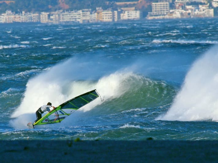
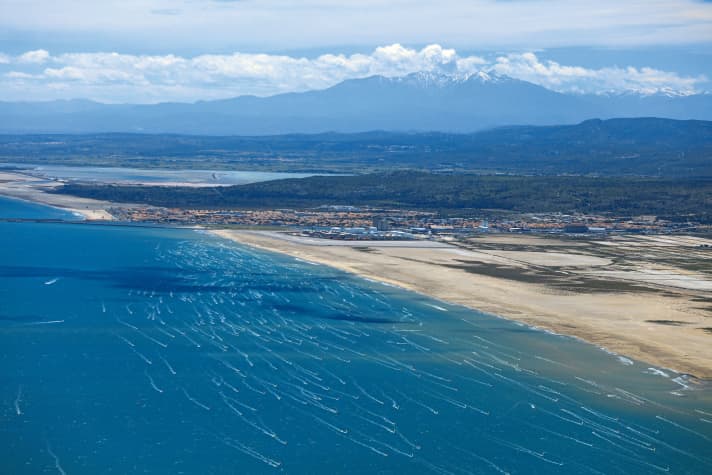
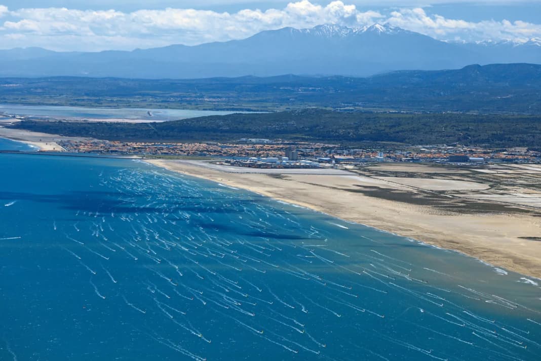
Trans montanus comes from the Latin. It is the inspiration for the Tramontana, a wind that comes to us "over the mountains" and therefore has its origins beyond the mountains. In contrast to geographically defined winds such as the Mistral in the south of France or the Slovenian-Croatian Bora, this wind can be at home anywhere. The main thing is that it blows down from a coastal mountain range onto the coast.
Tramontana winds are characterised by certain properties. They blow offshore and have a downslope wind character due to the influence of the mountains near the coast. They are therefore extremely gusty. At the same time, the air is relatively dry, clear and the weather is often fine. This is due to the foehn effect caused by the sinking of the air flow behind the mountains towards the beaches. However, it doesn't get very warm - at least in the Mediterranean - due to the Tramontana air current's region of origin, which is often far to the north.
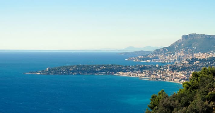
Wherever coastal mountain ranges are crossed by an air current before they reach the coast, water sports enthusiasts experience this Tramontana. This is the case, for example, on the Ligurian coast with northerly to easterly air currents - where the wind from the Apennines descends onto the beaches. The French call it tramontane and the Spanish call it tramuntada or tramontada, depending on the region.
Typical weather map
Corresponding to the different regions in which the Tramontana occurs, the large-scale weather conditions that generate this wind are also very different. This means that every coastal region with mountains in the hinterland has its own Tramontana weather situation.
The decisive factor in all geographical variants is an air pressure distribution in which the coast is located between high and low - and a lively air current has formed in the gap between the two atmospheric counterparts. The following applies to the northern hemisphere: if you look from the spot to the mountains, the lower air pressure or low pressure is on the right - and the higher air pressure or high pressure is on the left. Only then does an offshore air flow develop.
For example, the Ligurian Tramontana needs high air pressure in the direction of southern France or the Alps and a low in the Tyrrhenian Sea, central or southern Italy to develop. For a Tramuntada on the Costa Brava, on the other hand, high air pressure must prevail over the west of the Iberian Peninsula including the Bay of Biscay - and vis-à-vis towards Central Europe and the Western Alps, sometimes also low pressure in the Ligurian Sea.
Area of action
Tramontana-like winds are possible anywhere in the world: wherever there are weather conditions with lively winds that cross a coastal mountain range at a more or less right angle towards the sea. The fact that the term Tramontana was born in the Mediterranean is due to the topographically richly indented coasts of this region, where mountains often rise close to the coast. We will therefore limit ourselves here to the Mediterranean.
Particularly in the Iberian west and in the north of the Mediterranean, there are many coastal areas with mountains in the hinterland - and therefore also Tramontana situations as soon as the appropriate weather situation arises.

These include the beaches of Andalusia from Malaga in the west to Alicante in the east. The Costa del Sol owes its proverbial abundance of sunshine to the Tramontana weather conditions in the lee of the Andalusian mountains. The same is true further north at the foot of the Iberian foothills between Valencia and the Ebro Delta. And then again at the spots on the Costa Brava in the lee of the Pyrenees (Catalan: Tramuntada). The Tramontana blows on all these eastern Spanish coasts when the general weather situation causes a large-scale overflow of the coastal mountains from the west-north-west to north-north-west sector.
"Over the mountains" is the general translation of Tramontana - which is why it can be found geographically in many spots.
Variants of the Tramontana
The north-west wind variant of the Mistral also conjures up a Tramontana (Tramonte, Tramontane) at the spots between Narbonne and Montpellier. Actually, we can also consider the entire mistral as a tramontana - strictly speaking, the mistral is based on a mixture of jet effect and offshore downdrafts.
Surfers experience the Ligurian Tramontana from the beaches near Genoa in the north down to the spots around Viareggio, with northerly to easterly air currents. In a weaker form, it extends to the Tuscan coasts further south.
On many stretches of coast in western Corsica - and in some places in Sardinia - the Tramontana blows preferentially in easterly weather conditions.
On the coasts of northern Italy, locals call the cool north wind that blows from the Alpine region Tramontana.
The bora of Slovenia and the mountainous coastal areas of Dalmatia can also genetically pass as Tramontana.
If we look to the eastern Mediterranean, we often experience Tramontana-like situations in cool northern weather conditions on the northern mainland coast of the Aegean, i.e. in the spots of Macedonia and Thrace.
High season
The Tramontana is created by an air current between highs and lows that is strong and high enough to cross entire mountain ranges and originates somewhere in the cooler north. With regard to the Mediterranean, this is particularly the case in the west and north of the region. And especially in the period from October to April, when the Mediterranean weather is in winter mode - with its characteristic alternation between high and low pressure and between cooler and warmer periods of weather.
This changeability also applies to the Tramontana, which, like the Mistral, Sirocco and Bora, only blows intermittently and is therefore episodic in character.
As a rule, it rarely blows for more than one or two days in summer. From autumn to spring, however, the gusts of this offshore wind can sometimes dominate the affected spot for three to five days.

Typical wind and weather conditions
The air mass descending from the mountain ridge towards the coast warms up and dries out at the same time. The air, modified according to this foehn principle, gives the spots the typical Tramontana weather with at most a few hand-picked clouds and otherwise plenty of sunshine.
The very dry air ensures excellent visibility. Even if the haze otherwise obscures the elevations in the hinterland, at Tramontana we can see the mountains, however far away they may be, close enough to touch. So the origin of the word becomes apparent in the truest sense of the word: we can clearly see that the wind at Tramontana comes from the mountains. Despite the many hours of sunshine, the air is rather cool due to the often northerly origin, especially in the evening, at night and in the morning hours.
Typical Tramontana winds blow at four to five Beaufort, gusting to six. It is often windier at night and in the morning than in the morning, midday and afternoon.
Strong fluctuations in wind strength are a hallmark of this wind. They are caused by the roughness of the ground, as the contact of the air flow with the relief of the land surface increases the turbulence and thus the gustiness. This effect is further intensified during the day by the thermally induced turbulence in the warming air mass (solar gustiness).

Amplification factors
The air pressure gradient between high and low pressure is the driving force behind the Tramontana. The more lively low-pressure activity in the winter months also ensures particularly lively Tramontana winds during this time. From October to April, the offshore wind sometimes turns into a strong wind with gale-force potential.
Topographically richly indented coastal sections with their capes, bays and valley incisions can create localised jet effects depending on their orientation and the Tramontana wind direction. Notorious examples of Tramontana from the east-northeast are the headland near Antibes, Cape Ferrat and Cape Berta.
Tramontana, which comes more from the north than the east, transforms these coastal strips into jets (from west to east): Finale Ligure to Varazze, Arenzano to Genoa, spots around Chiavari, beaches from La Spezia to Viareggio.
The Tramontana can make the current in some straits dangerously swift. With lively north to north-easterly winds, the water between the beaches in the east of Elba and those opposite on the Tuscan coast pulls southwards at more than two knots. If a strong Tramontana from the east sweeps over the spots on the west coasts of Corsica and Sardinia, things get dangerous in the strait between the two islands. Not only does the wind freshen up there, but the current is also given a jet effect by the passage and the westward drift can locally exceed three knots.
Disruptive factors
A weakening of the air pressure gradient - be it that the high weakens or the low runs out of steam - also weakens the Tramontana. Before the Tramontana passes away, we can see the signs in the sky. For example, when the brilliant visibility gradually gives way to the typical Mediterranean haze and the mountains in the hinterland are no longer recognisable. Even if more cumulus clouds appear inland or even develop into warm thunderstorms near the mountains, this is the beginning of the end of a Tramontana episode.
Tramontana - The main thing is mountains
Basically, all winds that blow from the mountains out to sea are called Tramontana. This is why it can occur at many spots in the Mediterranean. Here you can see a classic satellite photo of Tramontana on the Ligurian coast.

All parts of the wind special:
- The west wind
- The east wind on the Baltic Sea
- Ora and Vento on Lake Garda
- The foehn in the Alps
- The Meltemi in Greece
- The bora in Croatia
- The sirocco in the central Mediterranean
- The mistral in the south of France
- The Tramontana in the northern Mediterranean
- The Levante in southern Spain
- The trade wind zone
- The roots of the trade winds
- Core trade wind - In the centre of the trade wind
- Passat run-off zone - The end of the Passat
- Interview: Climate researcher Dr Michael Sachweh - "Chasing storms is my passion"
- Windfinder: How wind forecasts are created, the difference between forecast and super-forecast


